A Tale of Two Bridges
A vital decision affecting area residents.
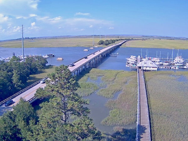
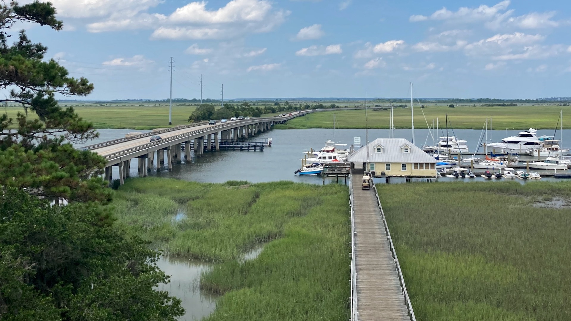
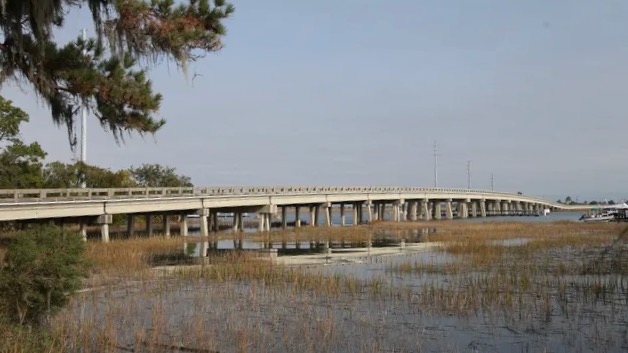
The Bull River Bridge is a vital link connecting Savannah and Tybee Island, Georgia. Since the early 1900s, the Bull River Bridge has been the only way to travel between the two cities unless traveling by air or sea. Since at least 2010, the Georgia Department of Transportation (GDOT) has been working on a much-needed project to renovate/replace the entire section of Highway 80 East from the eastern shore of the Bull River to the west bank of Lazaretto Creek at Tybee Island.
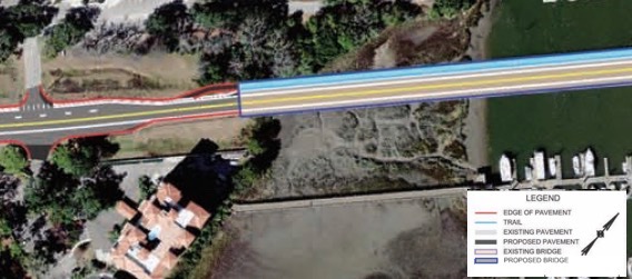
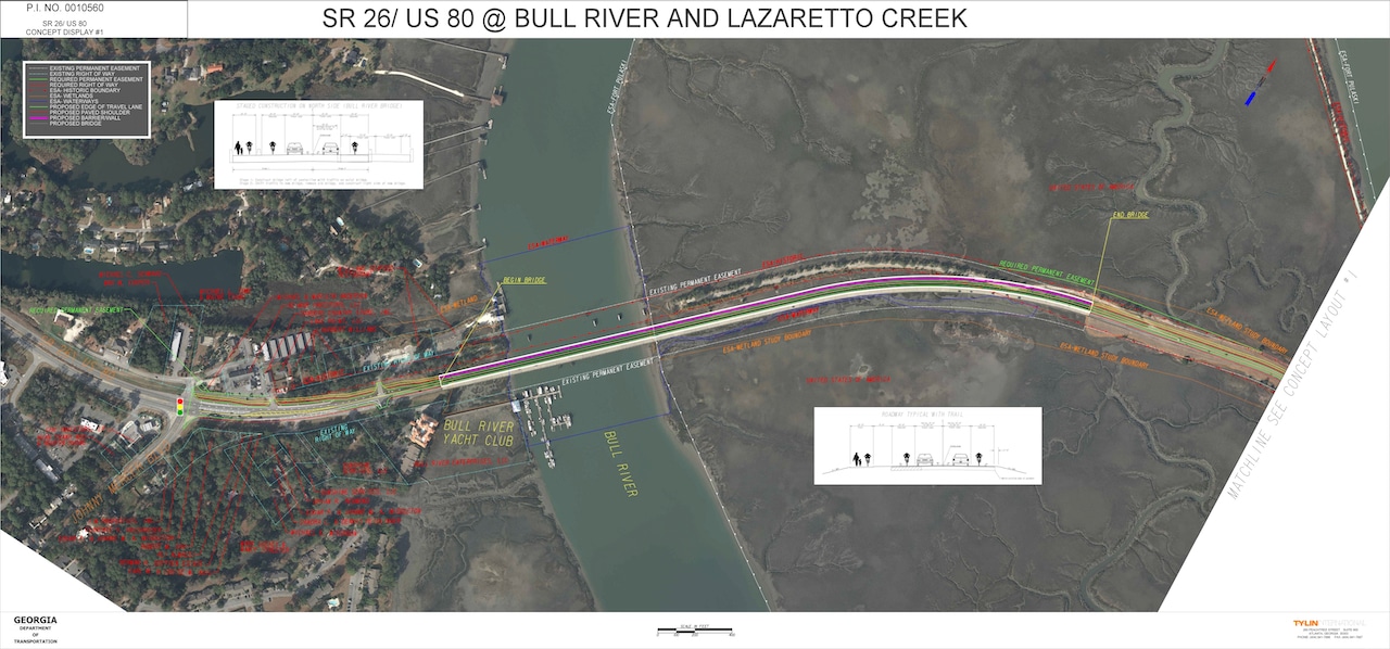
The proposed solution, supported by GDOT’s own studies, was to replace the entire section of the US 80 (East) roadway, and bridges, to the north of the current road and bridges. This was and is the most logical and economical solution which will also result in less impact on the surrounding environment and businesses as well as cost less than other alternatives studied.
Inexplicably, in 2017, with no formal opportunity for public input, GDOT unilaterally decided to move the Bull River Bridge to the south of the current bridge, a decision that will cost taxpayers millions if not tens of millions to execute. The Lazaretto Creek Bridge replacement, however, will still be to the north.
History
Savannah and Tybee Island, Georgia, have been intertwined for centuries. In the 1800s, after the Civil War, Tybee Island became well-known as a popular destination for Savannah residents escaping from the city’s summer heat. Initially, steamships carried visitors to Tybee. By 1887, both visitors and residents of Tybee could also travel by rail after the Central of Georgia Railroad’s rail line to Tybee opened. It wasn’t until the 1930s that Savannah and Tybee would be connected by a United States (US) Highway.
According to the Federal Highway Administration, “The Automobile Club of Savannah conceived the Dixie Overland Highway in July 1914 (and) made a path-finding tour across the State of Georgia…As a result of the investigation to determine the location of the highway, a practical route was found, connecting the cities from Savannah…to San Diego…(and) the Dixie Overland Highway when constructed will be the shortest, straightest, and only year-round, ocean to ocean highway, in the United States.”
The Automobile Club’s vision and efforts would years later lead to the United States’ more detailed plans for an ocean-to-ocean highway.
Original Bridge
The First Highway Bridge to Tybee
In October 1925, the Joint Board on Interstate Highways announced plans for a new marking system. Within the proposed grid of the United State’s routes, the board identified US 80….
Read More about Original Bridge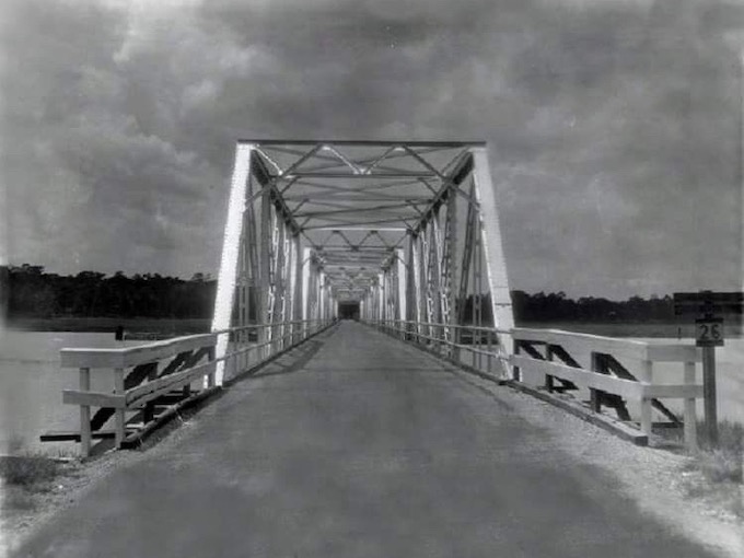
Current Bridge
The Only Way on & off Tybee island
What’s currently known as the Bull River Bridge was actually dedicated as the Frederick Hahn Bridge when it opened to traffic in 1967. While a Second Lieutenant during World War…
Read More about Current Bridge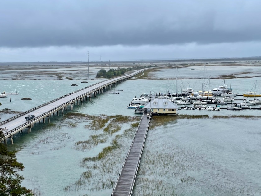
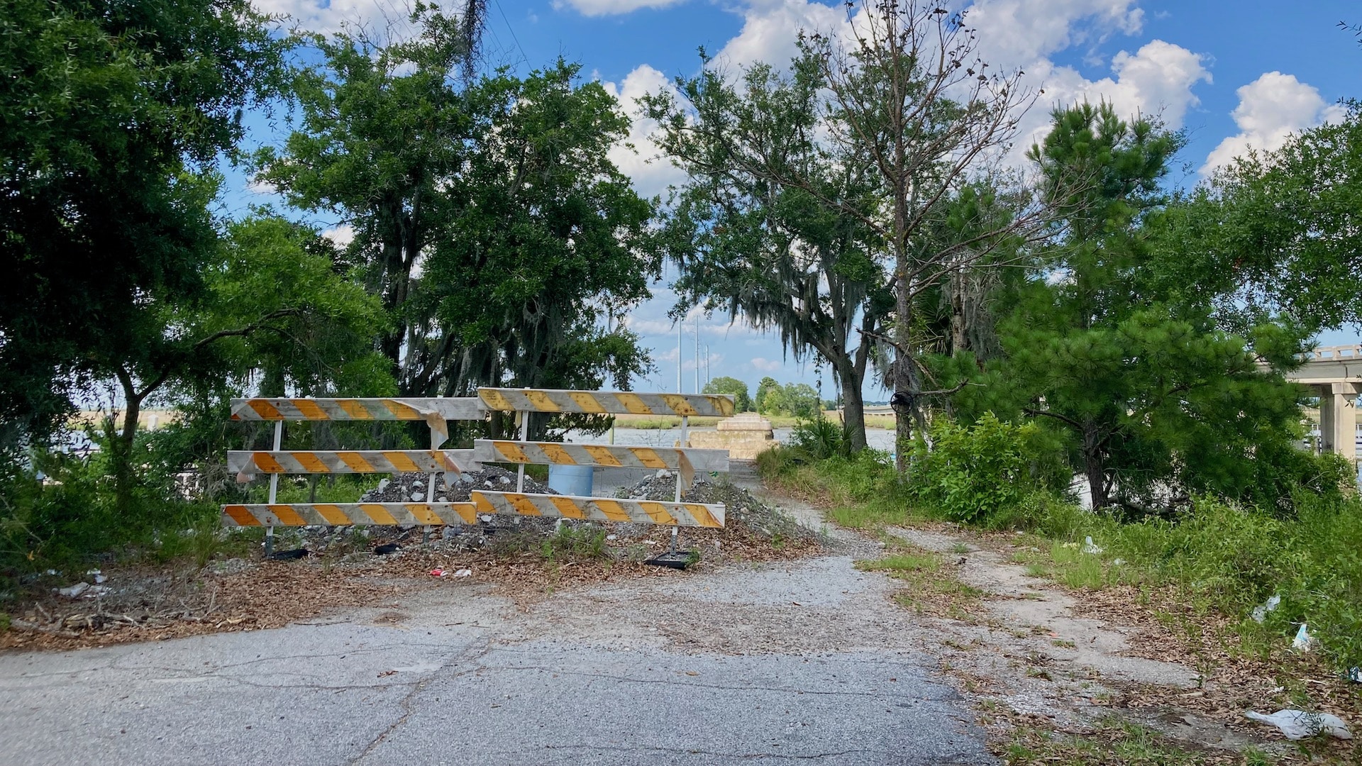
Proposed Bridge Replacement
Making the right choice
Local and state officials, residents, and others have expressed concerns regarding the current Bull River Bridge for decades. Although they may not always agree on how to best address these concerns, they do agree on several key priorities:
In 2012, after more than two years of studies by professional engineers, as well as review and input by local and state officials and the general public, the decision was clear. A new bridge would be built to the north of the current Bull River Bridge and the Coastal Region Metropolitan Planning Organization (CORE MPO) included this project in its 2035 Long Range Transportation Plan.
GDOT’s plan includes widening the bridges and roadway to allow accommodations for wider road shoulders as well as pedestrians and bicycles. All of these are necessary improvements to remediate safety and traffic congestion concerns.
Transportation Studies & Other Analysis
Numerous Evaluations
In the early 2000s, CORE initiated the US 80 Bridges Replacement Study (a Georgia Department of Transportation project). The study was to identify the best ways to improve the safety…
Read More about Transportation Studies & Other Analysis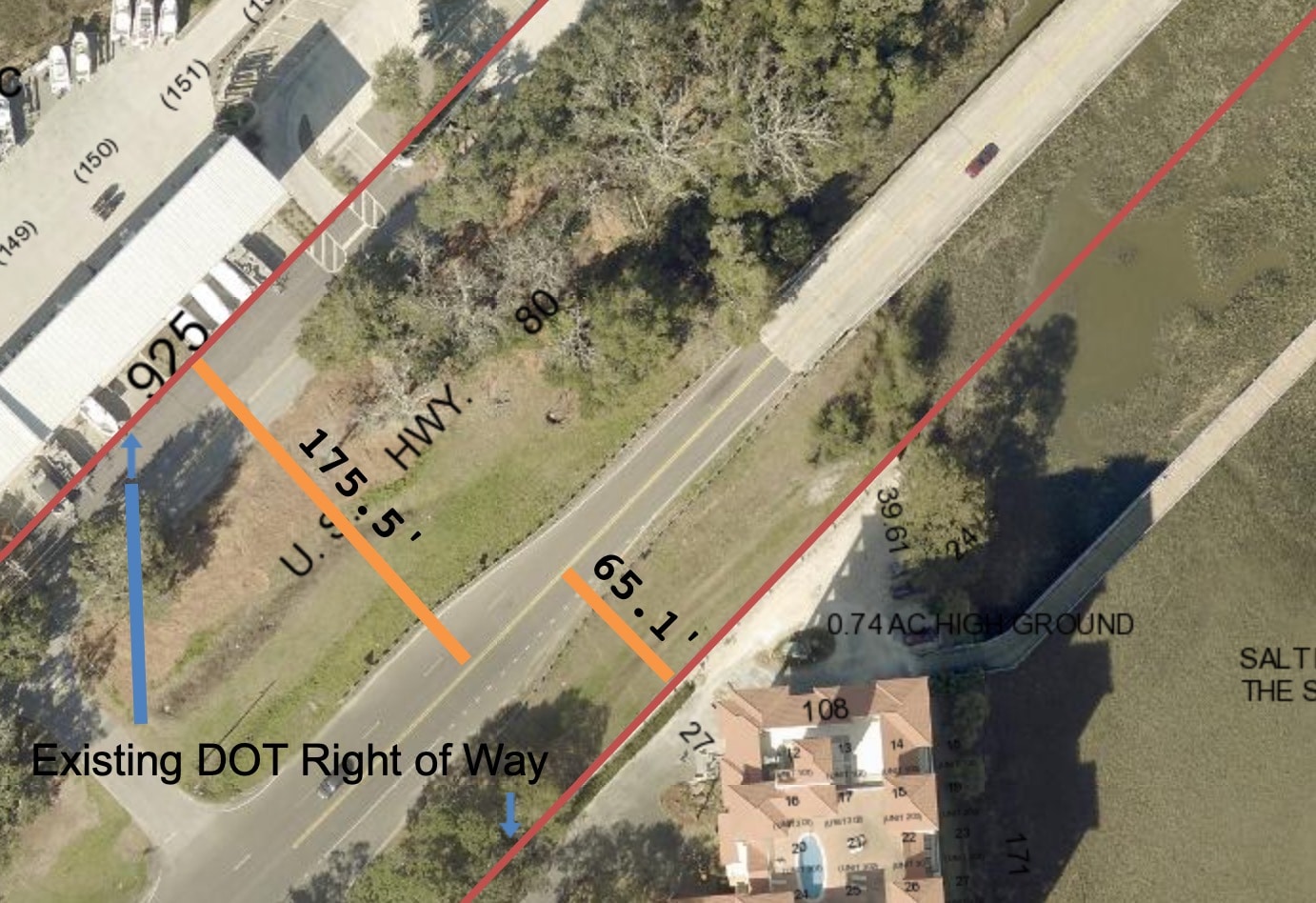
Environmental Impacts
Designated Wetlands & Protected Species
At the time of the bridge replacement study, the area to the north of the current Bull River Bridge presented the best option for many reasons, including the least amount…
Read More about Environmental Impacts
Rights Of Way & Infrastructure
Building to the North Mitigates Concerns
For years, the best option for the Bull River Bridge replacement has been to the north of the bridge, not only for less negative impacts on the environment but also…
Read More about Rights Of Way & Infrastructure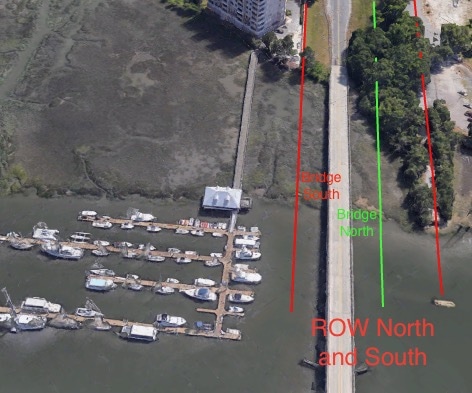
Traffic
Reducing Traffic and Costly Construction Delays
Regardless of when the new bridge is built, there will be some temporary traffic disruptions during the construction process. That’s generally the case with any construction project. Just look at…
Read More about Traffic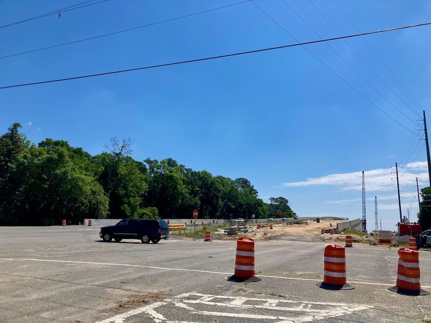
Costs
Taxpayers Will Benefit from a Smarter Plan
Choosing a smarter plan for the new bridges, including returning the placement of the Bull River bridge to the north, will be less costly. That means that taxpayers will benefit…
Read More about Costs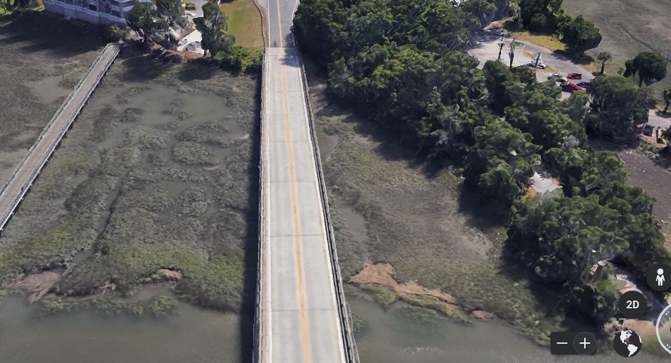
Traffic Safety & Congestion
During the additional public meetings held over the years, traffic safety and congestion have remained key concerns. If the new Bull River Bridge is to be placed to the south instead of the previously preferred north, there are new traffic safety and congestion concerns. For one, the original 2012 concept study recommended a bridge to the north without phased construction, meaning that the new bridge could be completely built before crews would have to demolish the old bridge–and would not require additional construction delays.
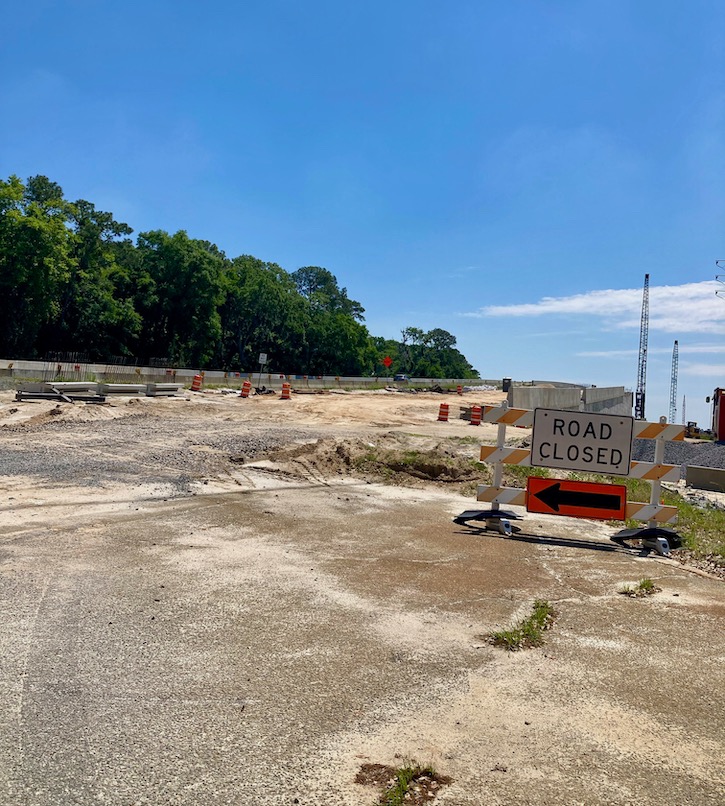
Compare the 2012 recommendation to the more recent consideration of building the new bridge to the south. Building to the south will require a two-stage construction phase because there is not enough room to build the entire project in one phase. That means that Phase One would focus on constructing enough bridge to handle the traffic, while Phase Two would be to open Phase One to traffic and demolish the current bridge. Construction crews would then have to build the remainder of the bridge and perform the necessary modifications, similar to what has been happening for years on the Islands Expressway Bridge project.
Marshlands Protection
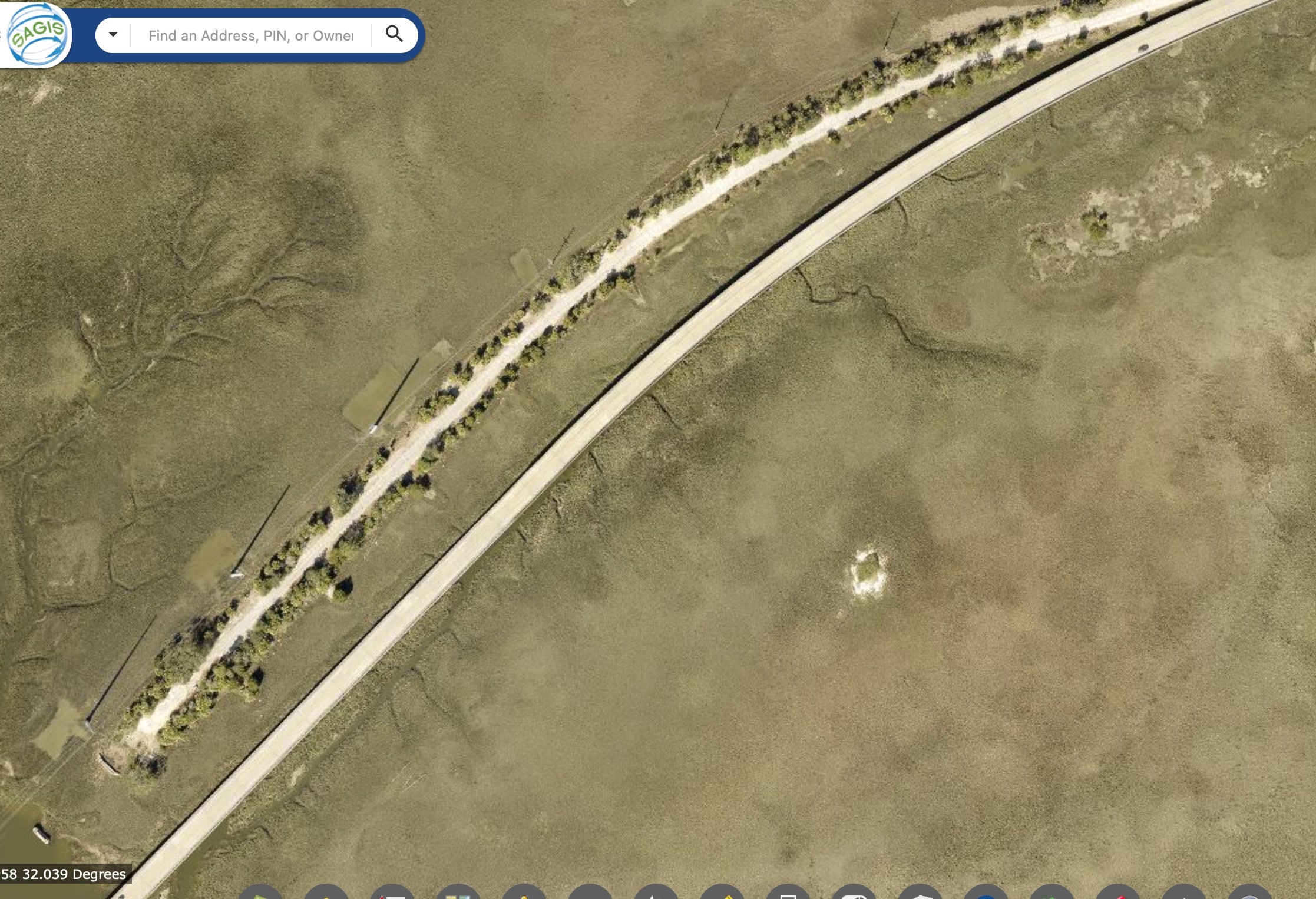
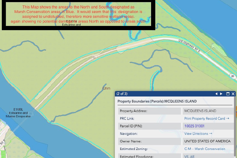
The area required by the north bridge placement falls outside of the recognized Chatham County Marsh Conservation Zoning region, while a south placement puts the impact region largely within this conservation region. As for undisturbed wetlands, the south placement of a bridge would significantly impact more wetlands than a north placement. The north placement would run entirely through the spoilage area between the current road and the old road bed of the original Highway 80.
Impacts on Area Businesses & Residents
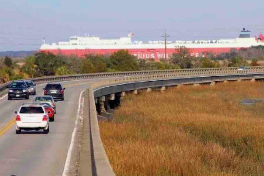
If the new Bull River Bridge is placed to the south instead of to the north, there will be prolonged impacts on area businesses and residents. Placing the bridge to the south would include a staged construction that would add 18 months to the project. The Islands Expressway Bridge replacement, for example, included staged construction and there have been continued project completion delays.
Additional Costs
The difficulty of working in the tight constraints of the south placement with heavy equipment and the multiplicity of tasks happening at one time will add significant time and expense to the project.
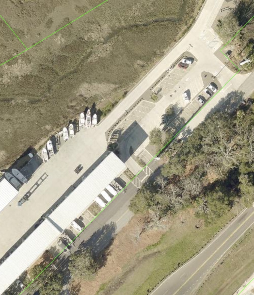
Additional costs would also be incurred by the taxpayers due to any land condemnation and right-of-way acquisition.
FAQS
There has been a lot of discussion and feedback regarding the Bull River Bridge replacement.
Despite more than two decades of studies and meetings, many people still aren’t aware of the original recommended plan for the bridge and the current status of the proposed bridge replacement.
In the early 2000s, the Georgia Department of Transportation (GDOT) said that it was working to relieve congestion, improve traffic conditions, and encourage safe transportation on the US 80 bridges and roadway between Tybee Island and the mainland. GDOT also noted that the Bull River and Lazaretto Creek Bridges were part of a designated hurricane evacuation route on the Georgia Hurricane Plan, and a future bikeway in the Metropolitan Planning Organization’s Long-Range Plan. The project would replace both bridges with two-lane bridges, including bike and pedestrian improvements, and widen the roadway from Johnny Mercer Boulevard to Old US 80 on Tybee Island for multimodal improvements and enhanced (paved) shoulders.
Below are some responses to FAQs (frequently asked questions) regarding the Bull River Bridge replacement.
Local News Coverage of Traffic Accidents on Bull River Bridge
2025
Now, a new website, bullriverbridge.com, offers a “one stop shop” for information regarding the Bull River…
The Bull River Bridge could be replaced in the coming years, but a group of residents want a…
Traffic is beginning to back up between Savannah and Tybee Island after a crash on Bull…
The Georgia Department of Public Transportation is seeking additional public comment by September 11
Send comments to Project Manager Cassius Edwards at [email protected]
2024
Construction on the Islands Expressway Bridge project is delayed, according to the Georgia Department of Transportation…
Construction on the new Islands expressway second bridge is 19 days past its completion date—with no…
2023
The Bull River Bridge has reopened after being closed this morning. Police say that the ice…
According to CCPD, the standing water that froze appears to have come from equipment being used…
2022
The Tybee Island Police Department (TIPD) says the crash caused increased traffic on and off Tybee…
How to Help
We need your help!
To learn how you can help, please contact us at [email protected].
Thank you for your interest and support!


